Explore Rural West Ashley, Charleston, SC, where newer neighborhoods along Bees Ferry and Glenn McConnell meet the Ashley River historic corridor and rural acreage.
Discover Local CommunitiesRural West Ashley is the outer, western reach of Charleston's largest suburban district, the ground beyond Interstate 526 along the Bees Ferry, Glenn McConnell, and Ashley River Road corridors, roughly twenty to thirty minutes from downtown Charleston depending on the address and the hour. The range of rural West Ashley homes for sale runs from townhomes and attached product in the low $300,000s through master-planned single-family construction between the $400,000s and the $700,000s, with acreage and larger rural parcels above that toward the county's western crossroads.
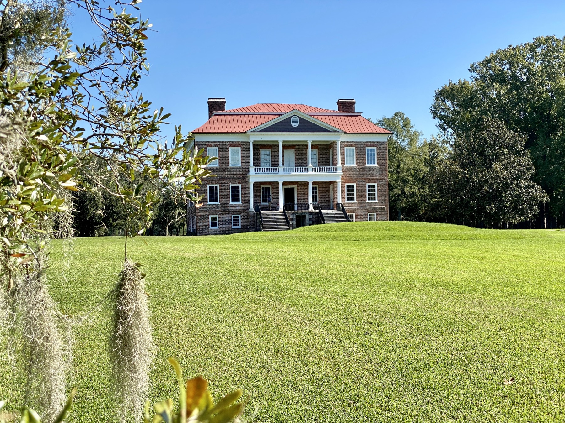
What defines this area is a line. On one side of it sit the subdivisions built since Interstate 526 opened in the 1980s and Glenn McConnell Parkway followed in the 1990s. On the other sits the Ashley River Historic District, a twelve mile stretch of Highway 61 running from Church Creek to Bacons Bridge Road on the National Register of Historic Places, holding Drayton Hall, Magnolia Plantation and Gardens, and Middleton Place. The two have been contesting the same ground for decades, most visibly in the annexation dispute decided on January 21, 2026, when the South Carolina Supreme Court invalidated North Charleston's attempted annexation of a one acre parcel near Highway 61 because it was not adjacent to the city's existing limits. Buying here means buying a position relative to that line, and the position is knowable before an offer.
The market data covers more ground than this page does. Redfin reported a West Ashley median of $523,500 in November 2025, up 6.3 percent on the year, with homes taking 73 days to sell against 51 the year before. A Charleston Trident Association of Realtors derived report for June 2026 put the West Ashley median at $583,750, up 1.5 percent, with closed sales up 29.9 percent and homes averaging 30 days on market. Both figures blend the whole district, inside and outside the interstate. At community level, the outer master-planned neighborhoods trade below the district numbers, with Grand Oaks listings recently spanning $314,000 to $639,000 around an average value near $480,000. Those measure different things and they should not be reconciled into one number; the honest summary is that the outer corridors are the value end of a Charleston address.
The Andy Bovender Team serves rural West Ashley from a Compass office at 708 South Shelmore Boulevard in Mount Pleasant, roughly forty minutes east, alongside offices in Charlotte, Columbia, Wilmington, Fort Mill, Greenville, Lake Murray, and the Outer Banks. Two things make representation matter here. First, the portals price West Ashley as one market, so comparables cross the interstate without anyone noticing, and a 1960s ranch inside 526 and a 2005 build in Grand Oaks are different products wearing the same label. Second, the jurisdictional map out here is a patchwork of the City of Charleston, unincorporated Charleston County, North Charleston annexations, and the Dorchester County line at the corridor's top end, and that patchwork sets taxes, permitting, and what can be built next door. Both need establishing for the specific parcel, not the area.
Three Plantations at the End of the Road
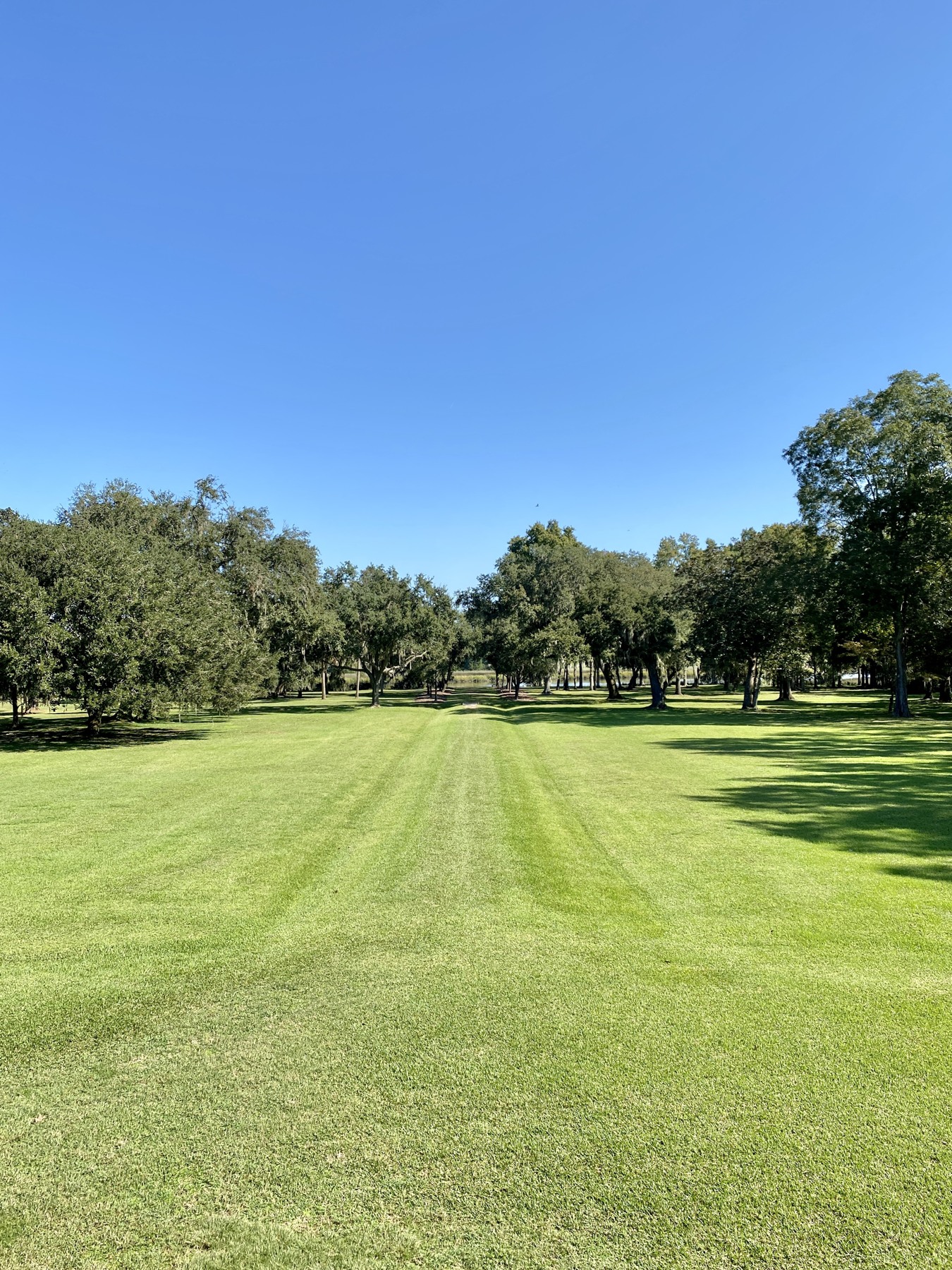
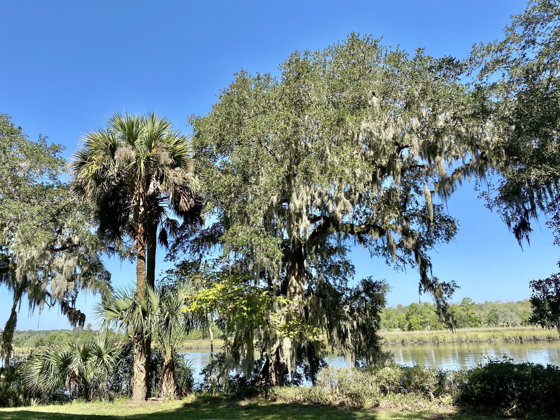
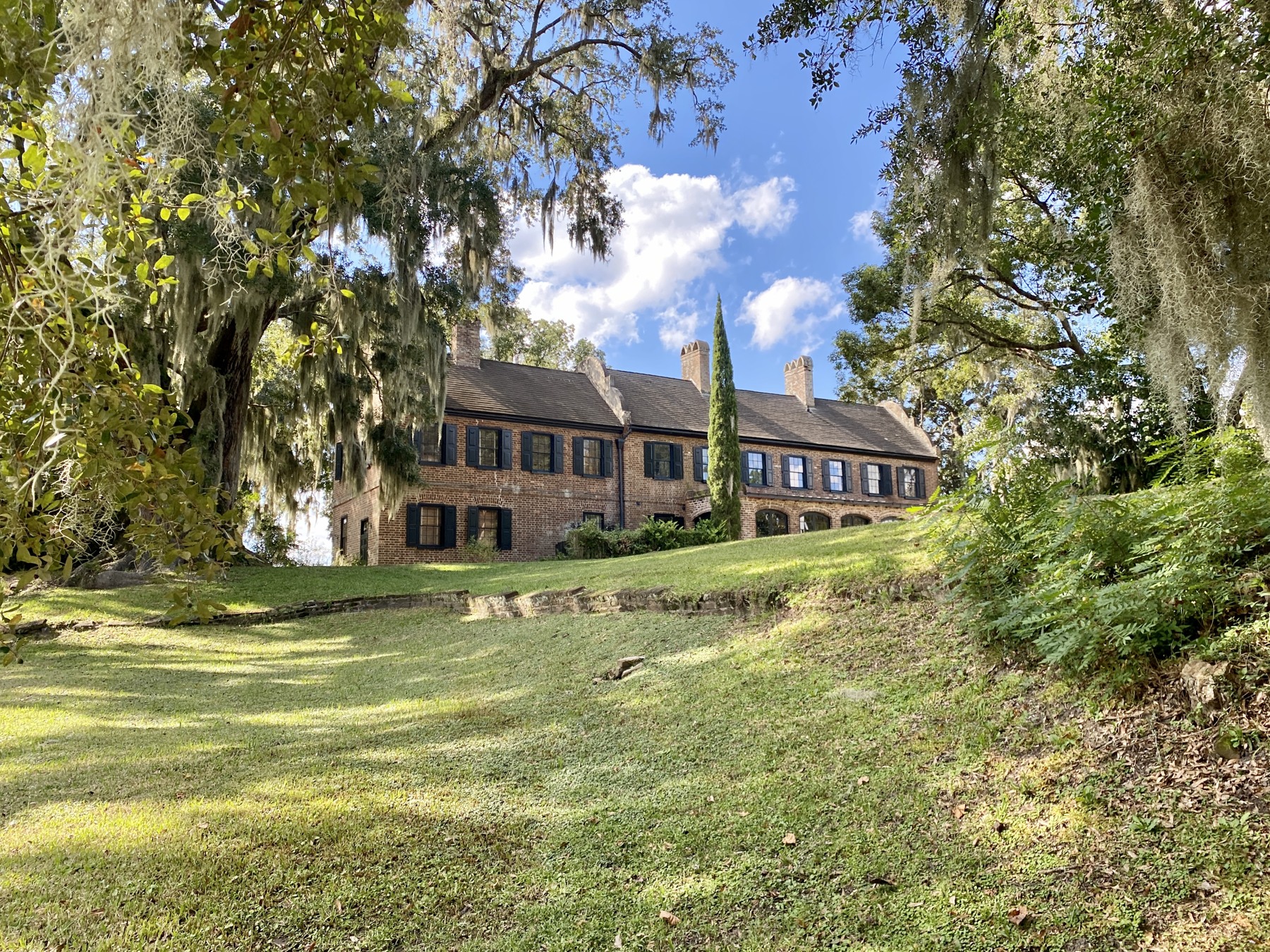
Drayton Hall, Magnolia Plantation and Gardens, and Middleton Place line Ashley River Road within minutes of the subdivisions, a National Register corridor of gardens, live oaks, and three centuries of history as the neighborhood's western edge. Few suburbs anywhere end this way.
Charleston's New Construction Corridor
Grand Oaks and Carolina Bay along Bees Ferry Road and Glenn McConnell Parkway carry much of the city's recent single-family construction, with current mechanicals, newer elevations, and community amenities at prices below the district's established core.
A Full Weekly Shop Without Leaving
Harris Teeter anchors West Ashley Circle and Lowes Foods anchors the Bees Ferry retail, both open seven days from 6 in the morning to 11 at night. Out here the errands stay local, which is not true of most edges of a metro.
Bees Landing Recreation Center
The City of Charleston operates the Bees Landing Recreation Center inside Grand Oaks, putting indoor and outdoor recreation, courts, and programs inside the neighborhood rather than a drive away.
A Boundary That Currently Holds
In January 2026 the South Carolina Supreme Court invalidated North Charleston's attempted annexation of a one acre parcel near Highway 61. The decision upheld a specific annexation boundary; buyers should still check current zoning, approved projects, and parcel-level protections before an offer.
Acreage Ten Minutes from the Subdivisions
The unincorporated crossroads at Red Top and Rantowles keep small farms, pasture, and larger parcels along US 17 just past the retail, so the step from a subdivision lot to real land does not require leaving the area.
Outer West Ashley is not one product. Four areas cover it, and the differences between them are jurisdictional and practical as much as architectural.
Bees Ferry and Glenn McConnell
The master-planned core of the area runs along Bees Ferry Road and Glenn McConnell Parkway, where Grand Oaks, Carolina Bay, and their neighbors hold most of the newest housing, and where West Ashley Circle and the Bees Ferry retail put groceries, restaurants, and services inside the daily loop. Product runs from townhomes through repeated-plan builder houses to larger recent construction, priced by plan, elevation, and lot in the way all builder product is, which makes comparables reliable when drawn from the same community and misleading otherwise. Three things belong in every offer here. Read the association documents and establish what the fee covers. Ask what remains to be built nearby, because parts of these corridors are still filling in. And drive the commute at peak, because two corridors funnel a large area onto a small number of signals.
The Ashley River Road Corridor
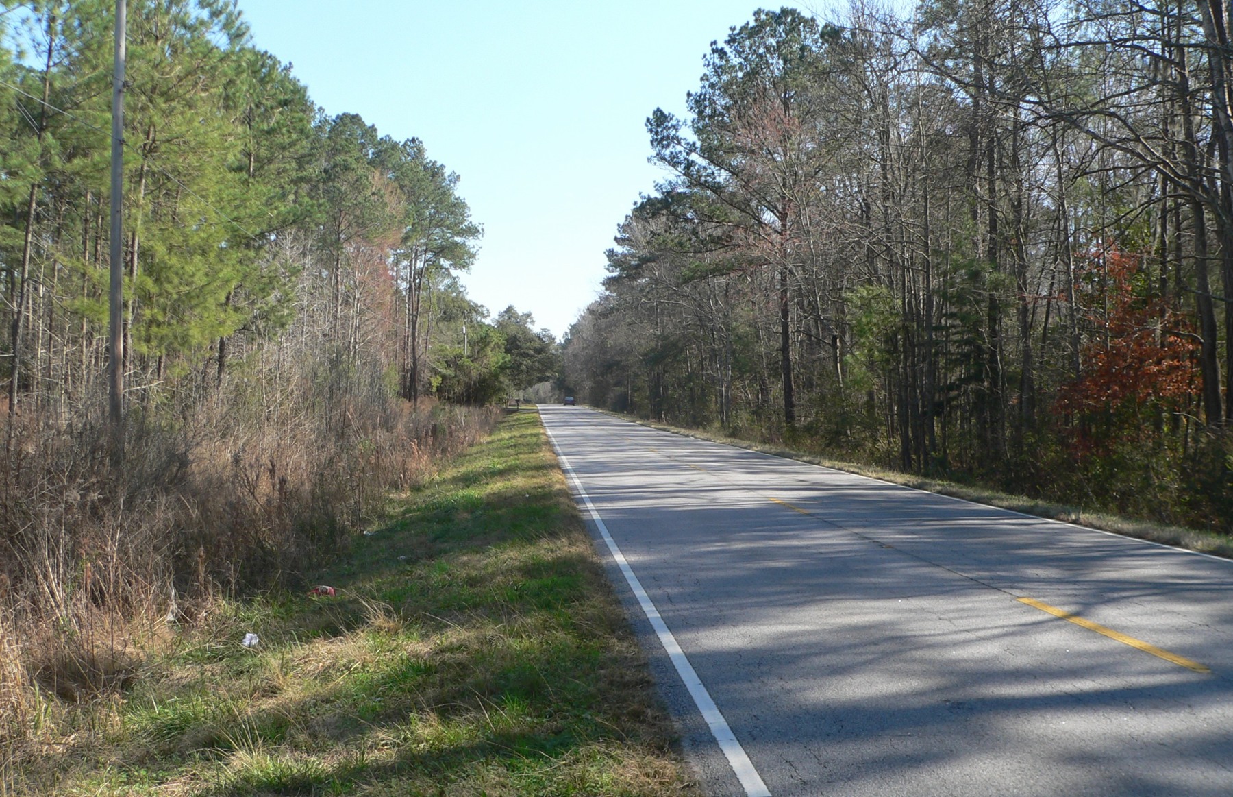
North of Bees Ferry, Highway 61 carries the area's established subdivisions on the high ground near the river: Shadowmoss around its golf course, Village Green, Drayton on the Ashley, and Schieveling Plantation among them, most built between the 1980s and the 2000s. This is the settled middle of the market, with mature trees, larger lots than the newer communities, and housing one renovation cycle old. The practical notes are specific to the road. Highway 61 narrows to two lanes through the scenic stretch and carries the corridor's commute, so the drive should be tested at peak rather than assumed from the mileage. At Shadowmoss, the golf course and the neighborhood are separate propositions, and a buyer should establish the club's ownership, terms, and condition independently of the house. And low ground near the river and its creeks needs flood zone and elevation checked per parcel.
Red Top and Rantowles
Where US 17 runs southwest past the retail, the subdivisions give way to the unincorporated crossroads at Red Top and Rantowles, where the product is land: small farms, pasture, long-held parcels, and houses that come with acreage rather than an association. Buyers move here for room, animals, workshops, and the absence of covenant restrictions, and the diligence changes accordingly. Establish well and septic condition and capacity, confirm what the parcel's zoning actually permits, walk the boundaries against the survey rather than the fence line, and check for wetlands and easements before pricing the usable ground. Jurisdiction here is unincorporated Charleston County rather than the City of Charleston, which changes the tax bill, the permitting office, and the rules next door, and that difference is worth confirming for the specific address on day one.
Beyond the Growth Boundary
Northwest of the subdivisions, the Ashley River Historic District holds the corridor the whole area is named for: Drayton Hall, Magnolia Plantation and Gardens, Middleton Place, conservation land, and large legacy parcels under the region's most contested land-use politics. Housing inside the district is scarce and specific, running to large-parcel and legacy properties where conservation easements, overlay review, and historic adjacency govern what an owner may change. For everyone else, the district matters as the neighbor: the January 2026 Supreme Court ruling invalidated one attempted annexation near Highway 61, but approved projects exist along the corridor's Dorchester County end, and what gets built there will arrive on the same two-lane road the subdivisions commute on. A buyer anywhere on Highway 61 should ask what has been approved upstream, because the answer is public and it prices in eventually.
Property Types Across Rural West Ashley
Four categories cover the area. New-construction and recent detached houses in the master-planned communities are the volume of the market and the most predictable to price. Townhomes and attached product near the retail are the entry point, recently from the low $300,000s. Established subdivision houses along Highway 61, including golf-course lots at Shadowmoss, are the renovation-and-value middle. Acreage and rural parcels at the crossroads and toward the boundary are a market of their own, priced on usable ground rather than square footage. Across all four, five questions decide value: which jurisdiction and taxing authority the parcel sits in, what the association covers and what remains to be built nearby, flood zone and elevation for low ground near the river and creeks, what the peak-hour commute actually is from that address, and, on acreage, the condition of well and septic and the presence of wetlands or easements.
Dining out here clusters at West Ashley Circle and the Bees Ferry retail rather than along a main street, with one long-running room out on Highway 61 itself.
Shuckin' Shack Oyster Bar, at 40 Grand Oaks Boulevard, works oysters, crab, and fried seafood alongside burgers in a sports-bar room at the West Ashley Circle end of Grand Oaks. Open seven days.
Agaves Cantina, at 3871 West Ashley Circle, is the neighborhood's Mexican kitchen, working street tacos, quesadillas, and a long margarita list. Open seven days.
Easterby's Family Grille, at 2388 Ashley River Road, is the corridor's long-running seafood room, doing fried shrimp platters, red rice, and grilled potatoes at everyday prices. Open Monday to Saturday, closed Sundays.
For an outer corridor, the errands story is unusually complete. Harris Teeter anchors West Ashley Circle at 3865 West Ashley Circle and Lowes Foods anchors the Bees Ferry retail at 3125 Bees Ferry Road, both open seven days from 6 in the morning to 11 at night, with pharmacies, fuel, and everyday services arranged around them. A full weekly shop does not require crossing Interstate 526. What sits inside the interstate is the bigger format retail along Savannah Highway and Sam Rittenberg Boulevard, including the region's auto row, and downtown Charleston is twenty to thirty minutes for everything beyond that. The practical note is directional: the area's retail concentrates at two nodes, so which node a house feeds determines the daily loop more than the mileage does.
The area's things to do start with the corridor itself. Magnolia Plantation and Gardens is open daily 9 to 4 with gardens, a swamp walk, and history programs. Drayton Hall, preserved rather than restored, runs guided house tours daily except Tuesdays. Middleton Place is open daily 9 to 5 with its landscaped gardens, stableyards, and a restaurant on the grounds, and the two-lane oak stretch of Ashley River Road connecting them is a drive people make on purpose. Closer to the subdivisions, the City of Charleston's Bees Landing Recreation Center in Grand Oaks carries courts, programs, and indoor space.
Beyond the area, the position works in three directions. Hollywood and Ravenel sit ten to fifteen minutes southwest with the Links at Stono Ferry, Caw Caw Interpretive Center, and the countryside, each covered in its own neighborhood guide. Johns Island and its restaurants sit across the Stono via Main Road, covered on its own page. And downtown Charleston is twenty to thirty minutes east, with Charleston International Airport roughly twenty five to thirty minutes via Interstate 526. The practical summary is that rural West Ashley supplies the groceries, the recreation, and the region's most storied back road, and borrows its nightlife from closer to town.

The Andy Bovender Team pairs deep Carolinas market knowledge with the reach of Compass. Expect straight answers, sharp preparation, and a process that stays simple, whether you are buying, selling, or both.