Cape Carteret is a small mainland town on Bogue Sound near the western gateway to Bogue Banks.
Discover Local CommunitiesThe community combines established neighborhoods, sound-side access and convenient connections toward Emerald Isle, Swansboro and Morehead City. Individual streets vary in water access and flood exposure.
Boating, fishing and beach trips are central recreational options. NC 24 is the main regional route and most daily errands are car-based.
Town parks and public water access connect residents to Bogue Sound, with Crystal Coast beaches nearby.
Carteret County Public Schools serves Cape Carteret. Verify assignment for the exact address with the district before publishing a specific school relationship.
Local services line NC 24 and NC 58, with additional dining and retail in Emerald Isle, Swansboro and Morehead City.
Cape Carteret is a small mainland town in Carteret County at the western end of Bogue Sound, where Highway 24 and Highway 58 meet at the bridge to Emerald Isle, and the range of Cape Carteret homes for sale sits around a reported median of $474,000. It is the mainland service point for the western end of Bogue Banks, with the retail, restaurants, and everyday provision that the island towns across the bridge use, and it carries water frontage on the sound and the creeks feeding it.
The market here is small and it has been getting faster. One aggregator recorded a January 2026 median of $474,000 with 16 sales in the month against 14 a year earlier, and days on market at 79 against 102, which is a meaningful improvement in pace. A separate reading from the same source in April 2026 gave a list median of $474,000 at about $266 per square foot with 49 days on market, unchanged from the year before. Sixteen active listings were recorded. On a market of that size, individual transactions move the figures, but the direction across two readings is consistent.
Against its neighbors, Cape Carteret occupies a useful position. Emerald Isle across the bridge recorded a median of about $817,000 in Volume 16 work, and Morehead City up the coast about $576,000. Cape Carteret at around $474,000 is materially cheaper than either while sitting minutes from the same beach, which is the mainland-versus-island trade that has run through several volumes of this project. What a buyer gives up is the island address and beach frontage; what they gain is price, and generally a different insurance profile.
The Andy Bovender Team serves Cape Carteret from Compass offices across the Carolinas, including the Outer Banks and Wilmington, alongside Charlotte, Charleston, Columbia, Fort Mill, Greenville, and Lake Murray. Two things follow. First, on a town recording around 16 sales a month, comparables should come from within the town rather than from county or regional figures. Second, this is a mainland town on a sound with creeks running through it, so flood zone and elevation vary considerably parcel to parcel and should not be assumed from the mainland position.
Minutes From Emerald Isle at Mainland Prices
Cape Carteret sits at the bridge to Emerald Isle, where the island's median has been recorded above $800,000 against about $474,000 here. The same beach, a few minutes and a great deal of money apart.
The Market Is Getting Faster
Days on market fell from 102 to 79 while sales rose from 14 to 16. Against a coast where most markets have been slowing sharply, Cape Carteret has been moving the other way.
Angie's Lighthouse Cafe
A 4.7 rating across more than 1,200 reviews on Highway 58, open seven days from 7 in the morning, with shrimp and grits and biscuits reviewers travel for. For a town this size that is a genuine institution.
Four Restaurants for a Small Town
Angie's, Coastal Haze at a 4.8 rating, Birdies at the golf course, and Mark's Family Restaurant cover breakfast through dinner. Cape Carteret eats better than a mainland bridge town has any need to.
Water on the Mainland Side
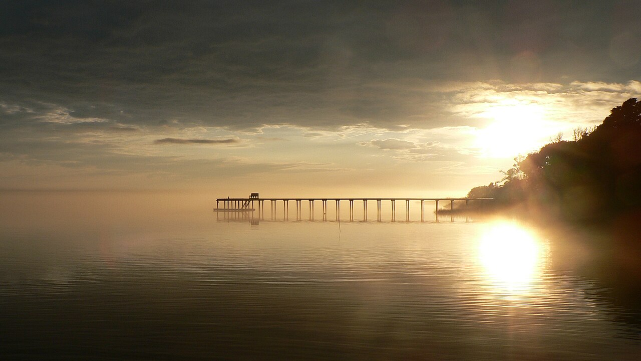
Bogue Sound and the creeks feeding it give the town water frontage and dock potential without barrier island exposure, which for a boat owner is frequently the better arrangement.
The Service Point for the Western Crystal Coast
Emerald Isle and the western end of Bogue Banks use Cape Carteret for everyday provision, which means the town carries more than its own population requires.
Cape Carteret is a small mainland town at a bridge, so what varies is water position, proximity to the highways, and whether a property sits inside the town or in unincorporated county. Four groupings cover it.
Sound-Front and Creek-Front
Property fronting Bogue Sound or the creeks running into it is the top of the Cape Carteret market, offering dock potential, protected water, and views across to Bogue Banks at prices well below the island opposite. Establish dock permit status where one exists and what would be permitted where one does not, establish water depth at varying tides, and confirm what any dock conveys on sale. Obtain the elevation certificate and base flood elevation for the exact parcel, because a mainland town threaded with creeks has a flood profile that varies considerably and does not follow the distance from open water.
The Established Residential Streets
Away from the water, Cape Carteret's residential streets hold the volume of its housing: detached houses across several decades on standard lots, at the town's most accessible pricing. This is where most buyers land, and in a town of this size condition and era vary more than position does. Compare within the town rather than to county figures, budget for the maintenance profile of older housing, and establish whether the property sits on public water and sewer or on well and septic, since in a small coastal town provision is not always uniform.
The Golf and Planned Communities
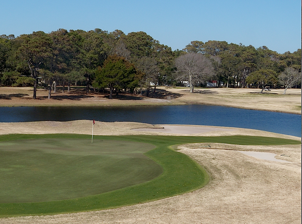
The town carries at least one golf-oriented area, with a clubhouse and course, and planned residential development around it. Housing in these areas generally carries homeowners associations and sometimes amenity access, at prices between the established streets and the waterfront. Read the association documents, establish what the fee covers and whether golf carries separate charges, confirm the reserve position and assessment history, and establish whether membership is required of owners, optional, or transferable, which is the question that determined the shape of the Kiawah and Seabrook pages in Volume 11.
The Highway Corridors and the Town Edge
Highway 24 and Highway 58 meet in Cape Carteret and carry the town's commercial development, with residential streets behind them. Property near the corridors offers the shortest errand runs and the quickest route to the bridge, and it is the most accessible pricing. What a buyer accepts is highway traffic, which here includes everyone crossing to Emerald Isle, so summer weekends are materially different from winter weekdays. Confirm also whether a specific address sits inside the town limits or in unincorporated Carteret County, because the boundary is not obvious and it affects taxes and services.
Property Types Across Cape Carteret
Four categories cover the town. Sound-front and creek-front property is the top of the market and is priced on water position and dock rights. Established detached housing is the volume and the most accessible. Golf and planned community housing sits between, with association arrangements. Corridor property is closest to services and most exposed to traffic. Across all four, five questions decide value: which water position and what any dock conveys; flood zone and base flood elevation for the exact parcel, which varies with the creeks; insurance cost and its five-year trend, which is the practical difference between here and the island; what any association covers and whether golf is separate; and whether the parcel is inside the town limits or in unincorporated county.
Cape Carteret eats along Highway 58 and around the golf clubhouse, and for a mainland bridge town the range is better than expected.
Angie's Lighthouse Cafe, at 833 NC-58, is the town's institution, serving from 7 with shrimp and grits reviewers travel for, egg and bacon biscuits, burgers, shrimp tacos, and a shrimp burger, in a small room that fills quickly. Open seven days, closing at 3.
Coastal Haze Restaurant, at 1187 NC-58, is the town's highest rated, working banh mi, smash burgers, toasted ravioli, pretzel bites, large salads, and house ice cream, on a counter-service model with outdoor seating. Closed Monday to Wednesday.
Birdies, at 202 Club House Drive, sits at the golf course with a covered patio by the putting green, doing pastrami sandwiches, chicken sandwiches, fried pickles, tacos, and house pie, with live music at weekends. Open seven days, later Thursday to Saturday.
Mark's Family Restaurant, at 1000 W B McLean Drive, is the long-standing breakfast and lunch room, serving from 6.30 with a breakfast buffet, French toast, burgers, and diner cooking. Open seven days, closing at 2, and reviews are mixed.
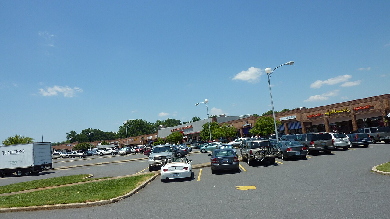
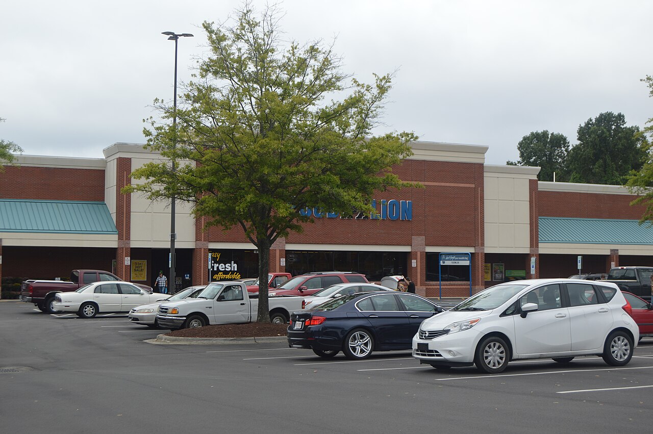
Cape Carteret is the everyday provision point for the western end of the Crystal Coast, which means it carries more retail than a town of its size otherwise would. The Highway 24 and Highway 58 corridors hold the grocery, pharmacy, hardware, restaurants, and services used by the town and by Emerald Isle and the western Bogue Banks communities across the bridge, which is a large part of why living here works without driving far. For a wider run, Morehead City is east with the county's larger provision and its medical facilities, covered on its own page. Buyers should note that summer traffic through the town is heavy, because everyone crossing to Emerald Isle passes through it, and the bridge is the pinch point.
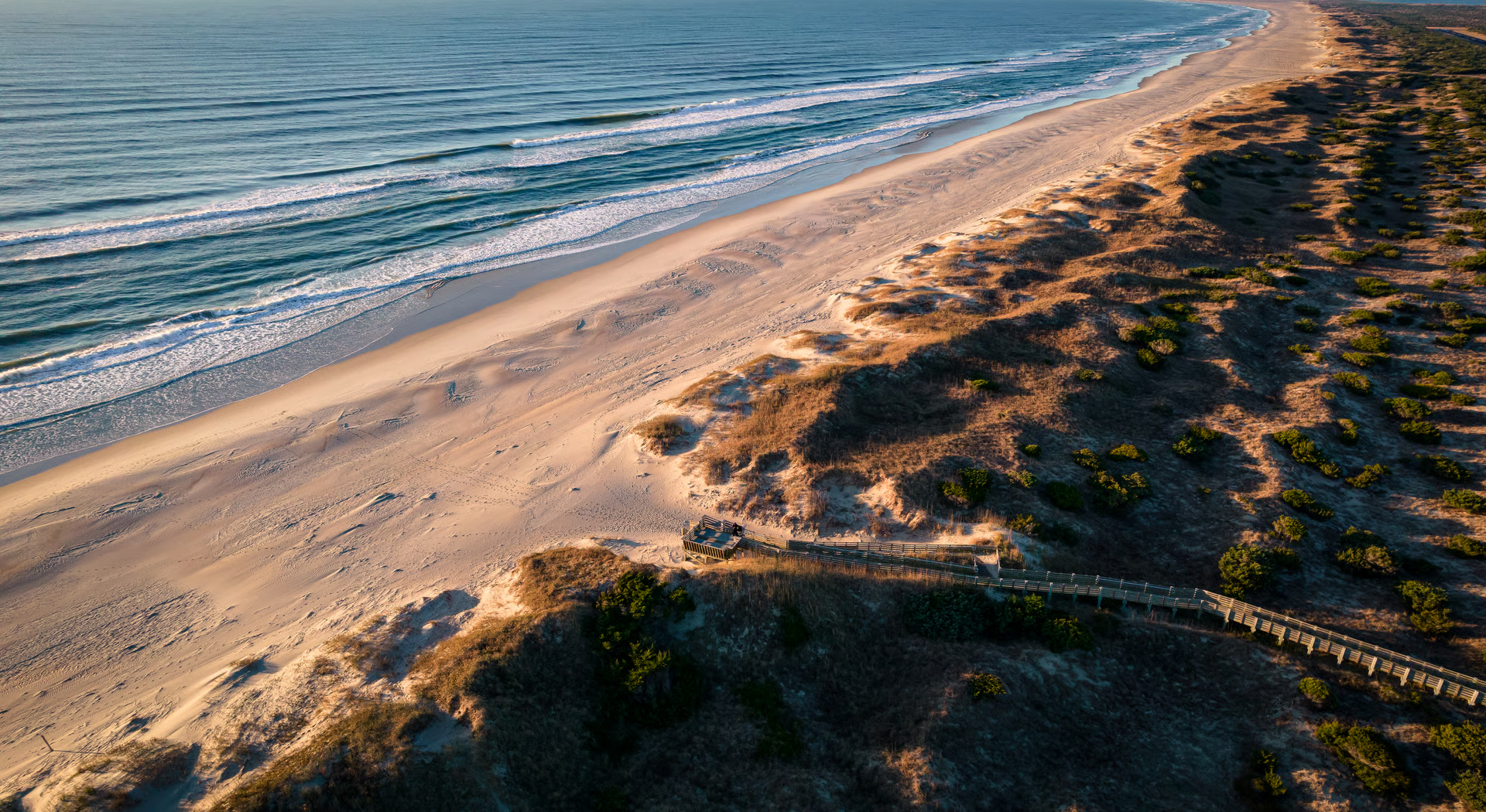
Cape Carteret's recreation runs on the water behind it and on the beach across the bridge. Bogue Sound and the creeks feeding it support boating, kayaking, paddling, and fishing, with dock access from waterfront property, and the town has a golf course with a clubhouse. The beach at Emerald Isle is minutes away across the high bridge, which is the practical arrangement most households here use: mainland living, island beach.
Beyond the town, the Crystal Coast opens east. Emerald Isle is across the bridge with its south-facing beach and its own page, and Indian Beach and Salter Path run east along Bogue Banks, covered in this volume, with Atlantic Beach at the far end and its own page. Morehead City is east on the mainland with the county's commercial center, its waterfront, and its own page, and Beaufort sits beyond it with its historic waterfront and its own page. Jacksonville and Camp Lejeune lie southwest with their own pages. The practical summary is that Cape Carteret is the mainland side of the Emerald Isle bridge, priced well below the island, with a market that has been speeding up while much of this coast slowed.
Cape Carteret is known as a mainland coastal town in western Carteret County, set along Bogue Sound just across the bridge from Emerald Isle. Created in the 1950s and incorporated in 1959, it is recognized for sound access and boating, the Star Hill golf community, and proximity to Crystal Coast beaches without island prices.
Living in Cape Carteret offers a quiet, family-friendly setting close to the water and the beach. Residents boat and fish on Bogue Sound, golf at Star Hill, and use the Manatee Street public boat ramp and 14 residents-only parks, with Emerald Isle beaches just over the bridge. Street-legal golf carts are common.
Homes in Cape Carteret carry a recent median list price around $474,000, at roughly $266 per square foot, with established homes more affordable and Intracoastal Waterway and Bogue Sound waterfront properties reaching higher.
Cape Carteret offers established homes on mature, spacious lots, waterfront homes with docks along the Intracoastal Waterway and Bogue Sound, golf-course homes near Star Hill, and newer subdivision construction such as Quailwood Village and Hunting Bay. Styles range from ranches to custom coastal homes.
Cape Carteret sits in western Carteret County, North Carolina, at the junction of highways 24 and 58 along Bogue Sound, directly across the bridge from Emerald Isle. Swansboro is a few minutes west, with Morehead City and the Croatan National Forest nearby.

The Andy Bovender Team pairs deep Carolinas market knowledge with the reach of Compass. Expect straight answers, sharp preparation, and a process that stays simple, whether you are buying, selling, or both.